|
Photo Gallery Reader's note: Presented below are several photographs of selected segments of the proposed Carlin rail corridor. The rail corridor, which is commonly referred to as the "Carlin Route," is one of five potential rail routes being consider by the U.S. Department of Energy (DOE) to support site investigation activities at the proposed High Level Waste Repository at Yucca Mountain, Nevada. |
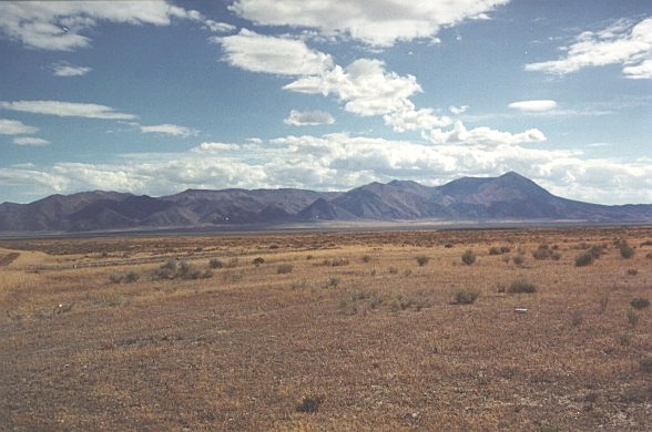 |
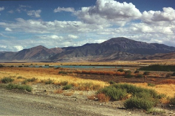
This is a view looking southeast across an area where the Carlin rail corridor is proposed -- The photo was taken in the middle of crescent Valley looking at the Cortez range (expandable picture is 52 KB) |
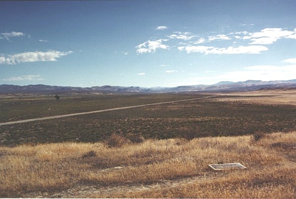 |
The photo show the area west of the town of Beowawe near the proposed Carlin rail corridor (expandable picture is 50 KB) |
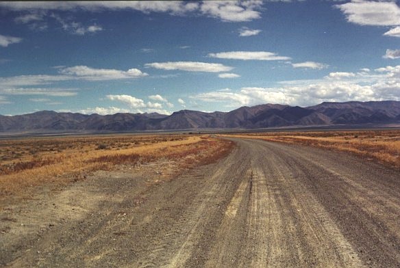 |
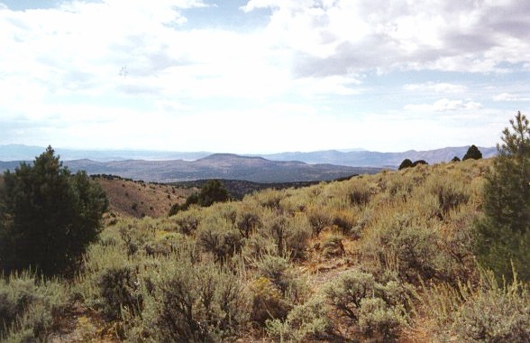
View of haul road looking west toward Carrico Lake Valley (expandable picture is 50 KB) |
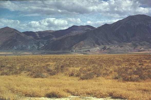 |
Looking east from pipeline haul road to Cortez Mine in Eureka County (expandable picture is 49 KB) |
 |
Looking south from pipeline haul road to Bald Mountain (expandable picture is 60 KB) |
 |
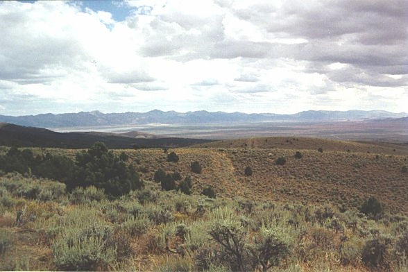
This is a view of Grass Valley, Nevada (expandable picture is 54 KB) |
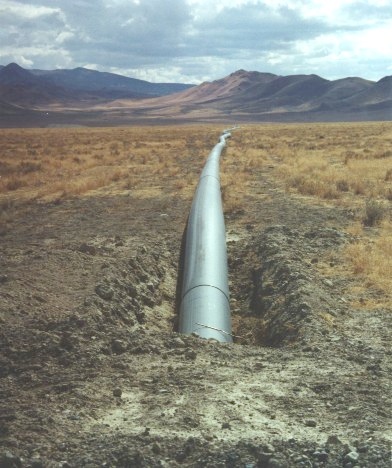 |
Photo of Cortez dewatering pipeline crossing county road - Carrico lake road (expandable picture is 55 KB) |
 |
This is a view of the south end of Grass Valley looking west across the proposed Carlin rail corridor (expandable picture is 49 KB) |
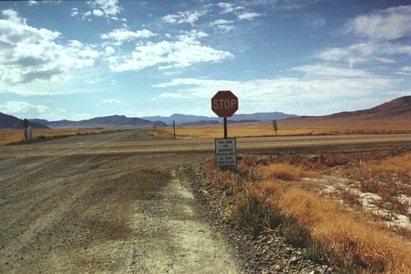 |
Photo of Cortez haul road intersection with Carrico lake road (expandable picture is 61 KB) |
|
Site Index |